Welcome to the Spurstow Parish Council website
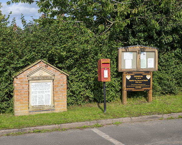
This website is managed by Spurstow Parish Council to keep residents up to date with what is happening in our village and within Cheshire East Council.
A little bit of history…
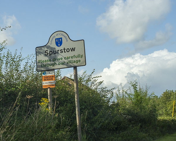
Spurstow is a Civil Parish within the unitary authority of Cheshire East Council. The Parish includes the settlement of Spurstow Sketh and part of Radmore Green. Nearby villages include Bunbury, Haughton and Peckforton.
Mentioned in the Doomsday book as “Spurstone“, the village was mainly land owned by John Aldersley and later George Spurstow, until the end of the line in 1685, when the estates were sold to Sir John Crewe. Most of the land is now owned by the Peckforton Estate. Situated 4 miles to the south of Tarporley, the Parish consists of 152 houses and 335 residents.
Spurstow is split into 2 parts with the main settlement to the west of neighbouring Bunbury, and with the exception of isolated houses, the southerly part is 2 1/2 miles away and wraps itself around the village of Haughton, the gap being filled with open countryside.
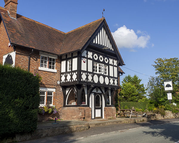
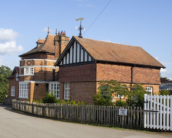
There are 17 listed buildings in the Parish and the gothic revival Old School House (now a private residence) dates back to 1872.
Latest News
Please find below links to our latest news: